University of Connecticut Climate Resource Exchange

Showing posts with label Southwest US. Show all posts

Thursday, September 15, 2011

La Niña and the Droughts


Towards the end of August, speculation began that La Niña was at work again causing extended droughts in both the Southwest US and East Africa. Last week, the verdict came in from NOAA: La Niña is back.

“'This means drought is likely to continue in the drought-stricken states of Texas, Oklahoma and New Mexico,' said Mike Halpert, deputy director of the (NOAA) Climate Prediction Center. 'La Niña also often brings colder winters to the Pacific Northwest and the northern Plains, and warmer temperatures to the southern states.'"


This Voice of America article explains the consequences in regard to East Africa.

"Wassila Thiaw studies Africa for the Climate Prediction Center at the National Weather Service in the United States. With a La Niña, Mr. Thiaw says the easterly winds that are supposed to bring moisture into East Africa are reduced." 
"Starting late last year, rains that were supposed to fall over Somalia, southern Ethiopia and northern Kenya failed. That part of the Horn of Africa has a second rainy season from March through May. Mr. Thiaw says that one failed, too, but for different reasons."

Consequently, it seems that the conditions in areas being affected by extended drought, like the Southwest US and East Africa, will not improve in the near future. 
La Niña is only one phase of a climate pattern known as El Niño Southern Oscillation (ENSO). The video below, from the NOAA Environmental Visualizations Labratory, shows 22 years of sea surface temperature. The ENSO pattern can be notably seen on the west coast of South America near Peru.


Wednesday, September 7, 2011

Hellish Conditions Persist


As of yesterday, Texas wildfires had consumed more than 700 homes and killed at least 4 people. Enabled by extended drought conditions, these fires are big enough to be seen in space.

Astronaut Ron Garan tweeted this picture of the Texas wildfires from the International Space Station.

Since December, wildfires have consumed an area of land that is approximately the size of Connecticut; the lack of containment of the blazes is being called unprecedented. And, while large amounts of rain is being dumped further east, Texas is not receiving the water it so desperately needs (see below).

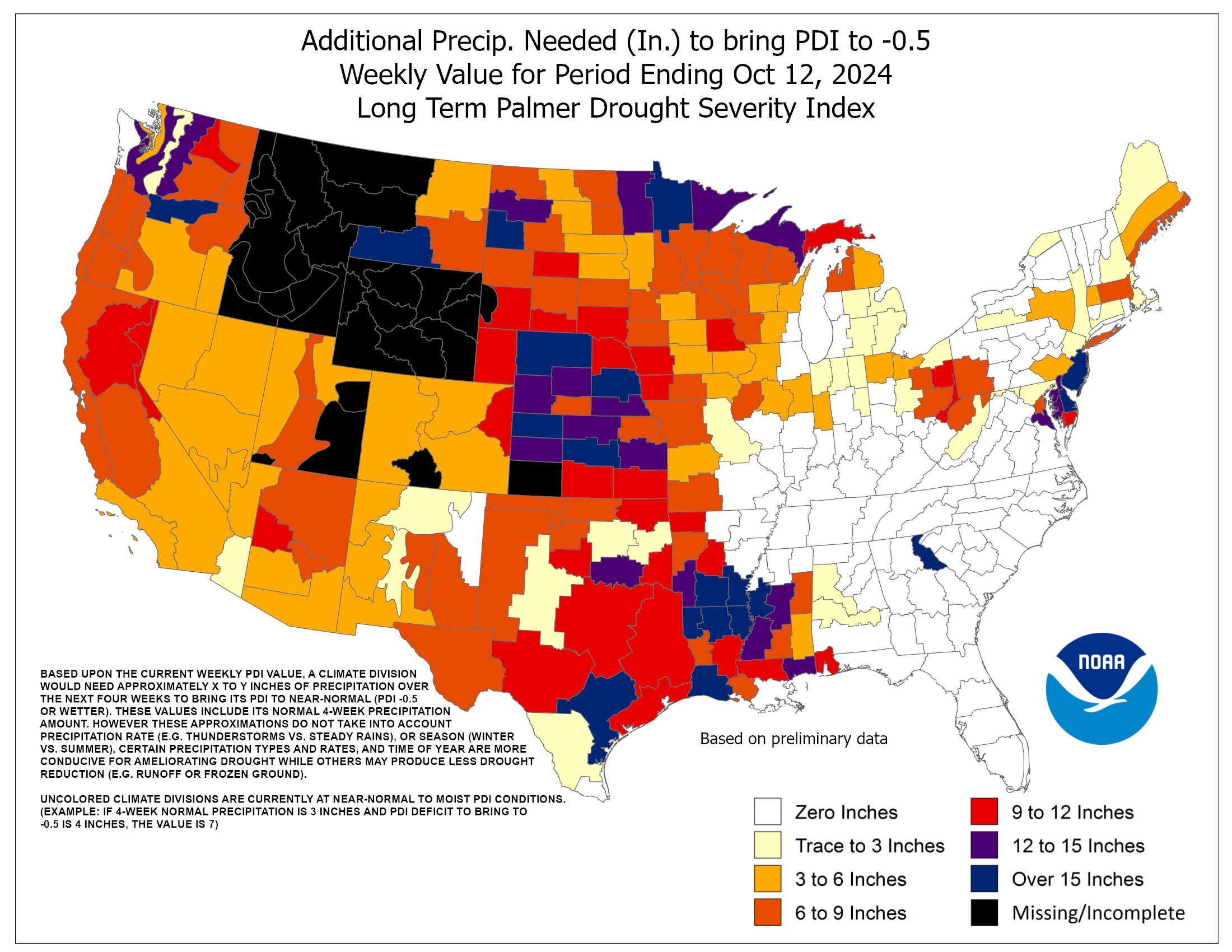
Most of Texas needs over a foot of rain to end drought conditions.

In 2011, about 6 million acres have been burned nationally; over 3 million have been in Texas. And, unfortunately, there is no end in sight to these conditions.

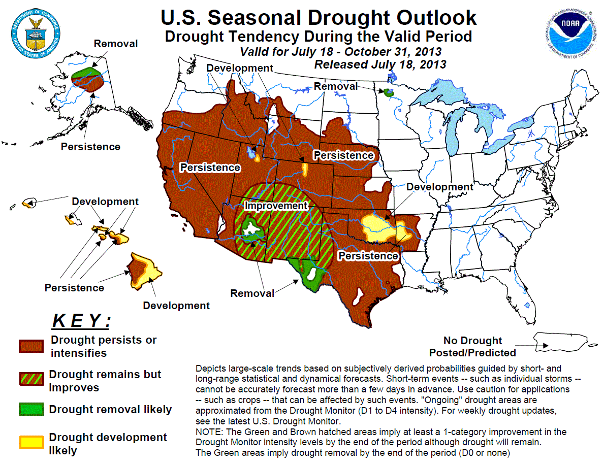
Drought conditions are expected to persist in the southwest US throughout the Fall.


Framed in the proper context, these fires can be seen as one piece of evidence of climate change. Evidence is accumulating that a changing climate is already causing extreme weather events. Moving forward in the 21st century, Texas is located in an area of the world that is projected to become more dry (see map above), which means these hellish conditions (see video below) could be a preview of a more extreme future.